Every roof, bridge, tank, and facade holds risks that human access can't safely reach. We get there first, before the failure, before the cost


Most asset failures aren’t surprises. They’re the result of risks that were visible. Just not to anyone standing at ground level.
The moment a defect becomes an emergency, the cost multiplies: shutdown, liability, repair, reputation.
We give you the visibility that moves detection earlier in the timeline. Not a PDF. Not a guess. Evidence.
Infrastructure asset managers who detect structural defects earlier than scheduled reduce emergency repair costs by up to 40%.
These are the assets that hide the most risk and the highest cost when missed:

CONFINED SPACE INSPECTION

THERMAL ANOMALY DETECTION

FACADE AND ROOF SURVEY

BRIDGE UNDERSIDE SCAN

STORAGE TANK ASSESSMENT

3D POINT CLOUD CAPTURE

CONSTRUCTION SITE DOCUMENTATION

INDUSTRIAL ASSET MODELING

DAMAGE RISK REPORTING
Indoor without compromise
The Elios 3 enters confined, GPS-denied spaces, tanks, shafts, ducts – and returns LiDAR-grade data from geometry that grounded inspection cannot reach.
Outdoor at survey resolution
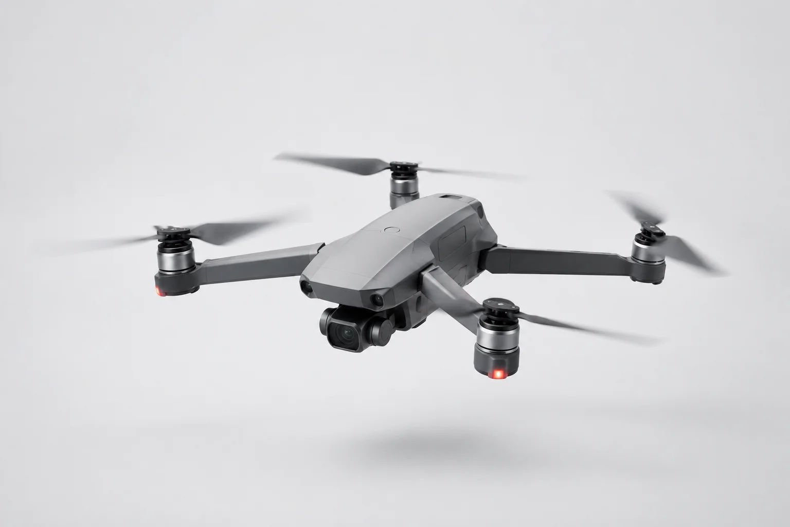
The DJI M350 paired with the PhaseOne iXM100 captures structures at a level of detail where hairline cracks are findable, not assumed.
Geometry you can measure
Laser scanning produces point clouds and 3D annotated models, so a maintenance engineer works from geometry, not a guess or a photograph taken at the wrong angle.
Evidence that doesn't disappear
Every inspection lands in the web-based portal. Searchable, persistent, tied directly to the asset register. Not buried in a folder on someone's desktop.
Netherlands-based, field-proven
DB Drone Solutions operates locally. Site familiarity, fast mobilisation, no handoff lag between crew and report.
Structured for what comes next
Deliverables are organized for maintenance planning, compliance documentation, and capital expenditure decisions, not just for reading once and filing.
SOLAR PANEL DEFECT SCAN
Sitemark
CHALLENGE
Microcracks drain yield and let water in long before they show. Finding them across 88,000 panels meant flying restricted airspace beside a wind farm. Only in the windless windows the turbines allowed.
SOLUTION
A 100MP PhaseOne payload mapped the whole park at 1.5 cm, then every panel at 1.5 mm. Each defect geolocated in the asset portal, technicians sent straight to the fault.
RESULT
88,000 panels, 2 days, every defect geolocated
ROOF CONDITION SURVEY
Patina
CHALLENGE
Roof inspections mean lifts, cranes, and scaffolding — costly to place and boxed in by regulation. On a dense city site inside controlled airspace, most of it can't go up at all.
SOLUTION
An M350 Drone with a 100MP PhaseOne flew the whole roof into a 3D model, then captured tiles, gutters, and lead flashing at 1 mm. One flight, cleared live with air traffic control.
RESULT
One flight, 1 mm detail, zero scaffolding
TENDER ORTHOMOSAIC
Wetlantec
Challenge
Bidding to build a whole district's natural sewer system meant proving exactly where every connection could run, across an ecological area, with no base map precise enough to calculate from.
SOLUTION
DB flew two target areas and stitched thousands of frames into a single orthomosaic, zoomable to the detail the tender needed, cleared by radio with the neighbouring airfield.
RESULT
Two areas, one orthomosaic, exact enough to tender on
ROOF TRUSS INSPECTION
4AMS
Challenge
Inspecting roof trusses 35 metres up normally means lifts or scaffolding, expensive, and it forces a hangar to clear out while aircraft maintenance is meant to run around the clock.
Solution
DB flew a caged Elios 3 — GPS-denied, stable centimetres from steel, carrying 4K, thermal, and LiDAR that built the space into a 3D model mid-flight. Findings geolocated on the first pass.
Result
35 metres up, first flight, zero hangar downtime
DB Drone Solutions began with a single, uncomfortable truth: the most expensive failures in infrastructure are the ones no one saw coming – not because the warning signs weren't there, but because no one could reach them in time. A crack forms where no ladder goes. Corrosion spreads on a surface no one has stood on in years. And the first time anyone sees it, it's already a headline, a closure, a call no asset manager ever wants to make. We built this company for the people who carry that weight – the ones whose name is on the report when something goes wrong. Drone inspection, laser scanning, and 3D asset modelling give them what ground-level inspection was never designed to provide: the chance to see it first. We serve the technical asset managers, maintenance engineers, and civil inspectors across the Netherlands who don't get to look away. We don't make risk easier to ignore. We make it impossible to miss.
Behind DB Drone Solutions are two people with clearly distinct roles and one shared standard: solutions that work in practice. Bas develops.
Donny connects. Together they own every project from the first request to the final report.
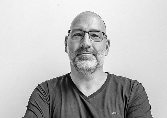
Donny van Rooij
Co-owner | Sales & Customer Relations
Donny is the connecting link between our technology and the client. He excels in building strong, long-lasting customer relationships and ensures that every request is translated into the right custom solution.
Together with Bas, he leads the company, where service and clear communication always come first.
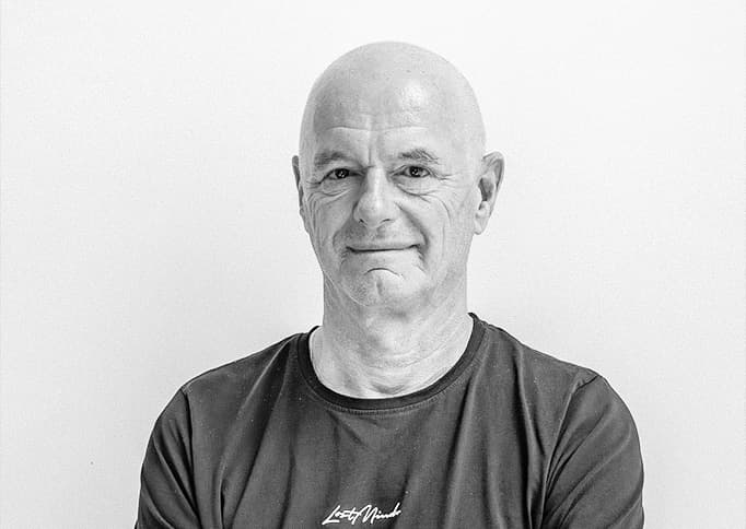
Bas Remijn
Co-owner | Technology & R&D
Bas forms the technical foundation of DB Drone Solutions. He is responsible for innovation, R&D, and the execution of our projects.
With his passion for high-end drone technology, he guarantees the best result for every assignment. Together with Donny, he determines the strategic direction of the company.
Mark Seveke
Managing Partner Organisation & Sales
Experienced in the Marketing, Sales & Communication of ICT/Data companies.
Fully commited to support the owners of DB Drone Solutions to further develop and grow, together as a team, the company to a next level in this challenging market of Drone Services.

We'll come back to you within one business day with a tailored inspection approach.